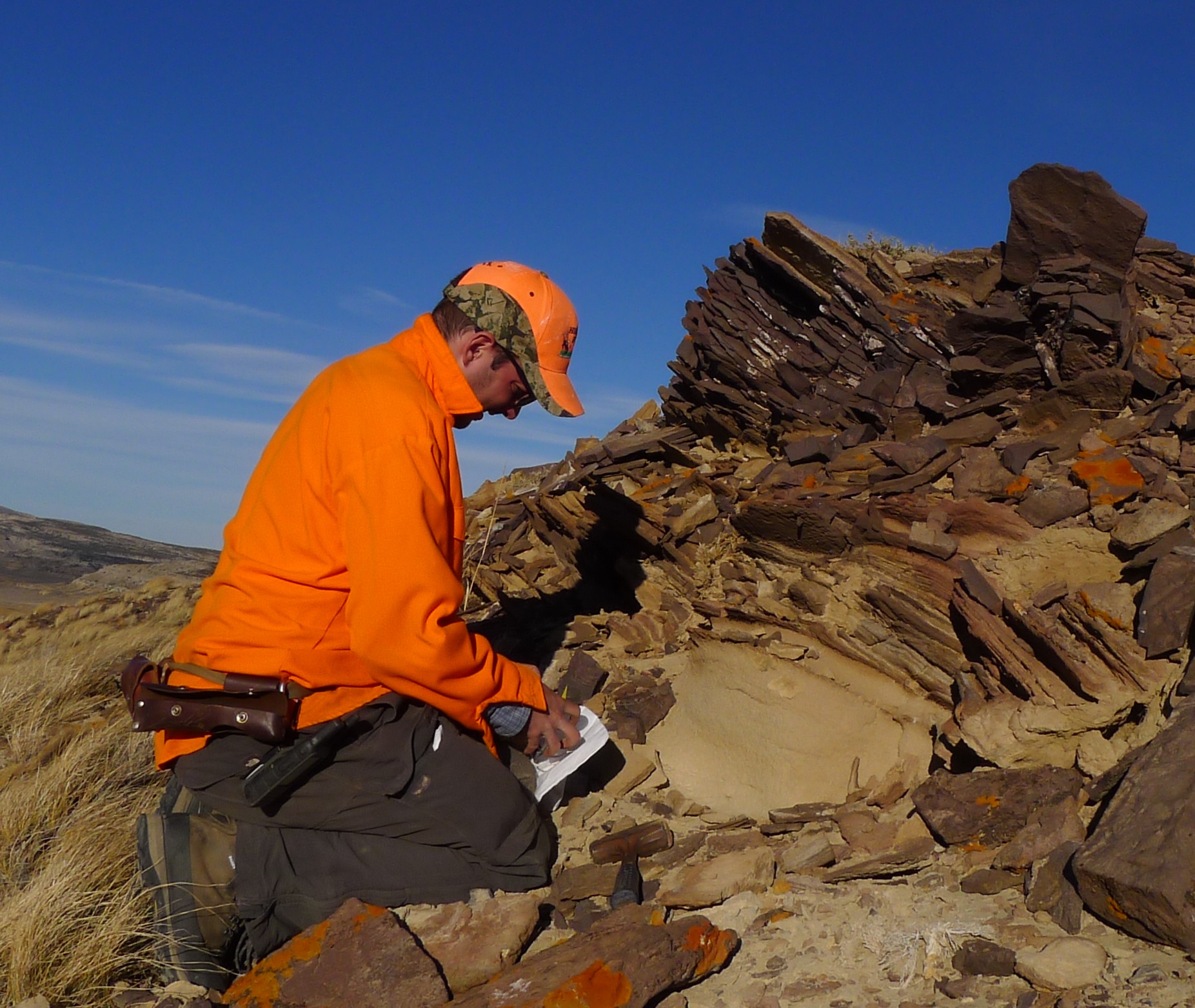
 Derek Lichtner joined the WSGS as full-time geologist in December 2019.
He has worked as a contractor with the WSGS on various projects and geologic maps since 2015.
Derek has a B.S. in geology from Temple University and an M.S. in geology from the University of Illinois at Urbana-Champaign, where he specialized in fluvial sedimentology.
His current work at the WSGS includes projects in subsurface stratigraphy, critical mineral geology, geologic mapping, and geographic information systems (GIS).
Derek spends his free time learning new musical instruments and exploring Wyoming's great outdoors.
- ►Selected Publications
-
Lichtner, D.T., and Krupnick, J.M., 2022, Preliminary geologic map of the Oil Mountain quadrangle, Natrona County, Wyoming: Wyoming State Geological Survey Open File Report 2022-3, 34 p., scale 1:24,000.
Lichtner, D.T., Gay, G.W., and Kehoe, K.S., 2021, Heavy-mineral sandstone in the Upper Cretaceous Rock Springs Formation, Richards Gap, Wyoming: Wyoming State Geological Survey Open File Report 2021-6, 37 p.
Kehoe, K.S., Gay, G.W., and Lichtner, D.T., 2021, Preliminary geologic map of the Richards Gap quadrangle, Sweetwater County, Wyoming, and Daggett County, Utah: Wyoming State Geological Survey Open File Report 2021-2, 12 p., scale 1:24,000.
Lichtner, D.T., Edgin, M.G., and Rodgers, J.R., 2021, Greater Green River Basin formation tops database, structure and thickness contour maps, and associated well data, with a focus on potential continuous reservoirs: Wyoming State Geological Survey Open File Report 2021-1, 31 p.
Lichtner, D.T., Toner, R.N., Wrage, J.M., and Lynds, R.M., 2020, Upper Cretaceous strata in the Powder River Basin—Formation tops database, structure and thickness contour maps, and associated well data: Wyoming State Geological Survey Open File Report 2020-9, 50 p.
Wittke, S.J., Mauch, J.P., and Lichtner, D.T., 2020, Preliminary surficial geologic and landslide maps of the Blind Bull Creek and Pickle Pass quadrangles, Lincoln County, Wyoming: Wyoming State Geological Survey Open File Report 2020-5, 16 p., 4 sheets, scale 1:24,000.
Lichtner, D.T., Carnes, J.D., Wittke, S.J., and Carroll, C.J., 2017, Preliminary geologic map of the Bridger Pass quadrangle, Carbon County, Wyoming: Wyoming State Geological Survey, Open File Report 2017-6, 41 p., scale 1:24,000.
Wittke, S.J., Carnes, J.D., and Lichtner, D.T., 2016, Preliminary surficial geologic map of the Jackson 30' x 60' quadrangle, Sublette, Teton, Lincoln, and Fremont counties, Wyoming: Wyoming State Geological Survey Open File Report 2016-6, scale 1:100,000.
Lynds, R.M., and Lichtner, D.T., 2016, Stratigraphy and hydrocarbon potential of the Fort Union and Lance formations in the Great Divide and Washakie basins, south-central Wyoming: Wyoming State Geological Survey Report of Investigations 73, 70 p., 2 pls.
|