Stratigraphy
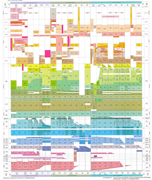
The stratigraphy of Wyoming is summarized in WSGS Map Series 41, the Stratigraphic Chart Showing Phanerozoic Nomenclature for the State of Wyoming (MS-41). Stratigraphic units on this chart are correlated along three generally west-east lines crossing mountains and basins.

![Arikaree Formation overlying the Brule Member of the White River Formation, Goshen Rim, southeast Wyoming. [Credit: Andrea M. Loveland, WSGS] Arikaree Formation overlying the Brule Member of the White River Formation, Goshen Rim, southeast Wyoming.](../images/wyoming-geology/arikaree-brule.jpg)
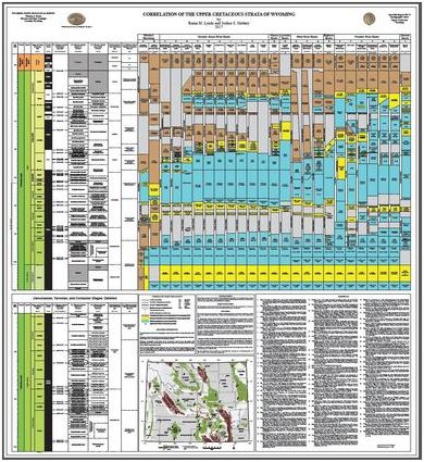
Wyoming's Upper Cretaceous stratigraphy is detailed in WSGS OFR 2017-3, the Correlation of the Upper Cretaceous Strata of Wyoming (OFR 2017-3).

![View of the Cretaceous Cloverly Formation along a secondary road east of Greybull, south plunge of Sheep Mountain along anticline. [Credit: Alan Ver Ploeg, WSGS] Cloverly Formation](../images/wyoming-geology/cloverly-fm.jpg)
Contact:
Ranie Lynds, ranie.lynds@wyo.gov