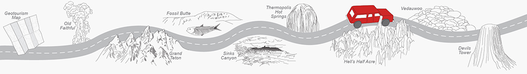
Back to Map
Old Faithful
Grand Teton
Fossil Butte
Sinks Canyon
Thermopolis Hot Springs
Hell's Half Acre
Vedauwoo
Devils Tower
Discover the Geology of Hell's Half Acre
 Many travelers are puzzled when they come across a bizarre badland
in the center of Wyoming known as Hell’s Half Acre. This area between
Casper and Shoshoni is a half acre merely in name. It is actually around 320 acres of badlands surrounded by miles of flat-lying, dry plains.
Many travelers are puzzled when they come across a bizarre badland
in the center of Wyoming known as Hell’s Half Acre. This area between
Casper and Shoshoni is a half acre merely in name. It is actually around 320 acres of badlands surrounded by miles of flat-lying, dry plains.
In the last few million years, wind and water have eroded all of those colorful layers of sandstone and shale into the jagged and often uniquely shaped landforms before you today.
Some of the rocks show steeply dipping layering; those are the older Cretaceous and Paleocene formations deposited about 70–55 million
years ago. They were tilted and eroded off during the Laramide mountain-building event, which uplifted the Casper arch,
about 60–55 million years ago. About 50 million years ago, sediments were shed from the Casper arch and deposited on
top of the older tilted layers, forming an angular unconformity. Within Hell's Half Acre, you can see some of the layers
are tilted steeply, while others are closer to horizontal.
If the landscape looks familiar, you probably saw it in the science-fiction movie,
“Starship Troopers.”
More information about Hell's Half Acre can be found in the Traveler's Guide to the Geology of Wyoming and Roadside Geology of Wyoming.
- ►References
-
Blackstone, D.L., Jr., 1988, Traveler’s guide to the geology of Wyoming (2d ed.):
Geological Survey of Wyoming [Wyoming State Geological Survey] Bulletin 67, 130 p., 13 pls.
Lageson, D.R., and Spearing, D.R., 1988, Roadside geology of Wyoming (2d ed.): Missoula, Mont., Mountain Press Publishing Company, 253 p.
Contact:
Christina George, christina.george@wyo.gov